Mittweida
Pentru alte sensuri, vedeți Mittweida (dezambiguizare).
| Mittweida | |||
| — Große Kreisstadt[*] și comună urbană[*] — | |||
 | |||
| |||
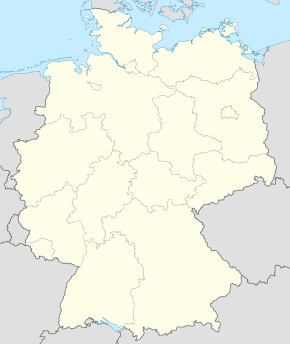  Mittweida Mittweida (Germania) | |||
| Coordonate: 50°59′N 12°58′E ({{PAGENAME}}) / 50.983°N 12.967°E | |||
|---|---|---|---|
| Țară |  Germania Germania | ||
| Land |  Saxonia Saxonia | ||
| rural district of Saxony[*][[rural district of Saxony |]] |  Landkreis Mittelsachsen[*][[Landkreis Mittelsachsen (German district of Saxony)|]] Landkreis Mittelsachsen[*][[Landkreis Mittelsachsen (German district of Saxony)|]] | ||
| Guvernare | |||
| - Primar | Gotthelf Traugott Esaias Häntzschel[*] () | ||
| Suprafață[1] | |||
| - Total | 41,24 km² | ||
| Altitudine[2] | 276 m.d.m. | ||
| Populație (2006-12-31) | |||
| - Total | 16.277 locuitori | ||
| - Densitate | 395 loc./km² | ||
| Fus orar | CET (+1) | ||
| - Ora de vară (DST) | CEST (+2) | ||
| Cod poștal | 09648 | ||
| Prefix telefonic | 03727 | ||
| Cod zonal | 03727 | ||
| Localități înfrățite | |||
| - Gabrovo | Bulgaria | ||
| - Viersen | Germania | ||
| - Bornheim | Germania | ||
| - Slavutici | Ucraina | ||
| - Česká Lípa[*][[Česká Lípa (municipality of the Czech Republic)|]] | Cehia | ||
| Număr de înmatriculare (auto) | MW | ||
| Prezență online | |||
| www.mittweida.de OpenStreetMap relation  | |||
 | |||
Modifică date / text  | |||

| |||||||

| Control de autoritate |
|
|---|
 Acest articol despre o zonă sau o localitate din Germania este un ciot. Puteți ajuta Wikipedia prin completarea sa


