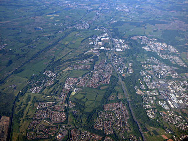
Ravenswood, Cumbernauld
Ravenswood is an area of Cumbernauld, Scotland.
History
Ravenswood, sometimes known as Bogedge, was formerly a retreat for Glasgow churchmen.[1] There are records of an Episcopal chapel there.[2] Ravenswood is also called Bogedge on old maps.[3][4] The remains of a mill from Ravenswood Farm can still be traced.[5]
New Town district
The street-naming scheme is based on Scottish islands.[6] Ravenswood Primary School[7] and Our Lady's High School are both in this area of the town.[8] Early in the new town's history Ravenswood was more distinct from Seafar than it now is possibly due to the building schedule and signage on paths.[9] More recently Seafar is more dominant perhaps because Ravenswood did not appear on any road signs.[10] until 2023.
Ravenswood has its own Local Nature Reserve.[11]
References
- ^ "Ravenswood Bog & Orchid Meadow". North Lanarkshire Council. Retrieved 29 September 2018.
- ^ Edwards, Roger (2012). Pomp or circumstance; Glasgow's episcopalians and the uprising of 1745. Scottish Church History Society. Retrieved 29 September 2018.
- ^ "OS 25 inch Map 1892-1949". zoomable map with Bing transparency overlay. National Library of Scotland. Retrieved 10 October 2017.
- ^ "OS 6 inch Map 1843-1882". zoomable map with Bing transparency overlay. National Library of Scotland. Retrieved 10 October 2017.
- ^ "Celebrations in Cumbernauld as Our Lady's High School turns 50". Cumbernauld News. 28 September 2018. Retrieved 29 September 2018.
- ^ "Ravenswood". The Gazetteer for Scotland. Retrieved 22 October 2017.
- ^ "Ravenswood Primary". North Lanarkshire Council. Retrieved 23 October 2017.
- ^ Taylor, Jessica (2010). Cumbernauld: The Conception, Development and Realisation of a Post-war British New Town (PDF). Edinburgh: Edinburgh College of Art. pp. 718–742. Retrieved 25 February 2017.
- ^ Taylor, Jessica (2010). Cumbernauld: The Conception, Development and Realisation of a Post-war British New Town (PDF). Edinburgh: Edinburgh College of Art. p. 57. Retrieved 25 February 2017.
- ^ Colquhoun, Ian (2008). RIBA Book of British Housing 1900 to the present day (2 ed.). London etc: Elsevier. pp. 322–324. ISBN 978-0-7506-8254-1. Retrieved 25 October 2017.
- ^ "Local Nature Reserves". North Lanarkshire Council. Retrieved 6 August 2016.
55°56′38″N 4°00′11″W / 55.944°N 4.003°W / 55.944; -4.003
- v
- t
- e
Residential areas of Cumbernauld
- Abronhill
- Balloch
- Blackwood
- Carbrain
- Carrickstone
- Condorrat
- Craigmarloch
- Cumbernauld Village
- Eastfield
- Greenfaulds
- Kildrum
- Lenziemill
- Luggiebank
- Ravenswood
- Seafar
- Smithstone
- Westerwood
- Westfield
- Whitelees
- Category:Residential areas of Cumbernauld
 | This North Lanarkshire location article is a stub. You can help Wikipedia by expanding it. |
- v
- t
- e


