Franz Park, St. Louis
Neighborhood of St. Louis in Missouri, United States
Franz Park | |
|---|---|
Neighborhood of St. Louis | |
 Antique store on McCausland Avenue, Franz Park, April 2011 | |
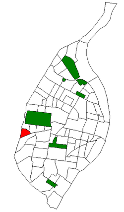 Location (red) of Franz Park within St. Louis | |
| Country | United States |
| State | Missouri |
| City | St. Louis |
| Wards | 24 |
| Area | |
| • Total | 0.42 sq mi (1.1 km2) |
| Population (2020)[1] | |
| • Total | 2,260 |
| • Density | 5,400/sq mi (2,100/km2) |
| ZIP code(s) | Part of 63139 |
| Area code(s) | 314 |
| Website | stlouis-mo.gov |
Franz Park is a neighborhood of St. Louis, Missouri.
Demographics
| Year | Pop. | ±% |
|---|---|---|
| 1990 | 2,681 | — |
| 2000 | 2,621 | −2.2% |
| 2010 | 2,442 | −6.8% |
| 2020 | 2,260 | −7.5% |
In 2020 Franz Park's racial makeup was 80.4% White, 6.0% Black, 0.2% Native American, 2.9% Asian, 7.7% Two or More Races, and 2.8% Some Other Race. 5.0% of the population was of Hispanic or Latino origin.[2]
| Racial composition | 2000[3] | 2010[4] | 2020 |
|---|---|---|---|
| White | 84.7% | 86.2% | 80.4% |
| Black or African American | 11.1% | 7.9% | 6.0% |
| Hispanic or Latino (of any race) | 2.1% | 4.3% | 5.0% |
| Asian | 0.9% | 2.1% | 2.9% |
See also
- Clayton/Tamm, St. Louis, in the east
- Ellendale, St. Louis, neighborhood directly to the south
- Hi-Pointe, St. Louis, in the north
- Dogtown, St. Louis, general area including all 4 neighborhoods
References
External links
- Franz Park neighborhood website
- v
- t
- e
- Academy
- Baden
- Benton Park
- Benton Park West
- Bevo Mill
- Botanical Heights
- Boulevard Heights
- Carondelet
- Carr Square
- Central West End
- Cheltenham
- Chinatown (defunct since 1966)
- Clayton/Tamm
- Clifton Heights
- College Hill
- Columbus Square
- Compton Heights
- Covenant Blu Grand Center
- DeBaliviere Place
- "Dogtown"
- Downtown
- Downtown West
- Dutchtown
- Ellendale
- Fairground
- Forest Park Southeast
- Fountain Park
- Fox Park
- Franz Park
- Gate District
- Gravois Park
- Greater Ville
- Hamilton Heights
- The Hill
- Hi-Pointe
- Holly Hills
- Hyde Park
- JeffVanderLou
- Kings Oak
- Kingsway East
- Kingsway West
- Kosciusko
- Lafayette Square
- LaSalle Park
- Lewis Place
- Lindenwood Park
- Marine Villa
- Mark Twain
- Mark Twain/I-70 Industrial
- McKinley Heights
- Midtown
- Mill Creek Valley (defunct since 1960s)
- Mount Pleasant
- Near North Riverfront
- Northampton
- North Point
- North Riverfront
- O'Fallon
- Old North St. Louis
- Patch
- Peabody–Darst–Webbe
- Penrose
- Princeton Heights
- Riverview
- Shaw
- Skinker DeBaliviere
- Soulard
- Southampton
- Southwest Garden
- St. Louis Hills
- St. Louis Place
- Tiffany
- Tower Grove East
- Tower Grove South
- Vandeventer
- The Ville
- Visitation Park
- Walnut Park East
- Walnut Park West
- Wells/Goodfellow
- West End
- Wydown/Skinker
38°37′21″N 90°18′16″W / 38.6226°N 90.3044°W / 38.6226; -90.3044
 | This St. Louis location article is a stub. You can help Wikipedia by expanding it. |
- v
- t
- e


